Samantha Fox
Cart 0

Freie Universität Berlin

From 2010 to 2018 I co-taught the course Digital Anthropology in the MA Program in Visual and Media Anthropology at the Freie Universität Berlin. Click here for more information.

Below: An outdoor screening of Digital Anthropology final projects at the Freie Universität Institut für Ethnologie, photos by Mike Terry


Visualizing (Im)mobility: a Psychogeography Walk

Zolberg Institute on Migration and Mobility, November 7th, 2018

The following site was used by participants of the Visualizing (Im)Mobility walk, which incorporated smartphone activities at each stop. The project was undertaken in collaboration with Dr. Julia Morris.

Mapping our route, 1961 map of Greenwich Village via the New York Public Library

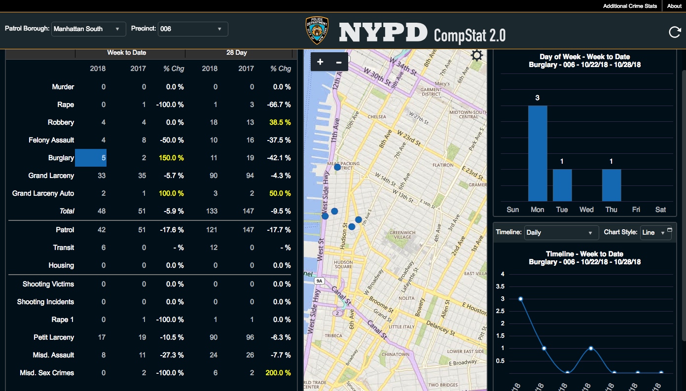
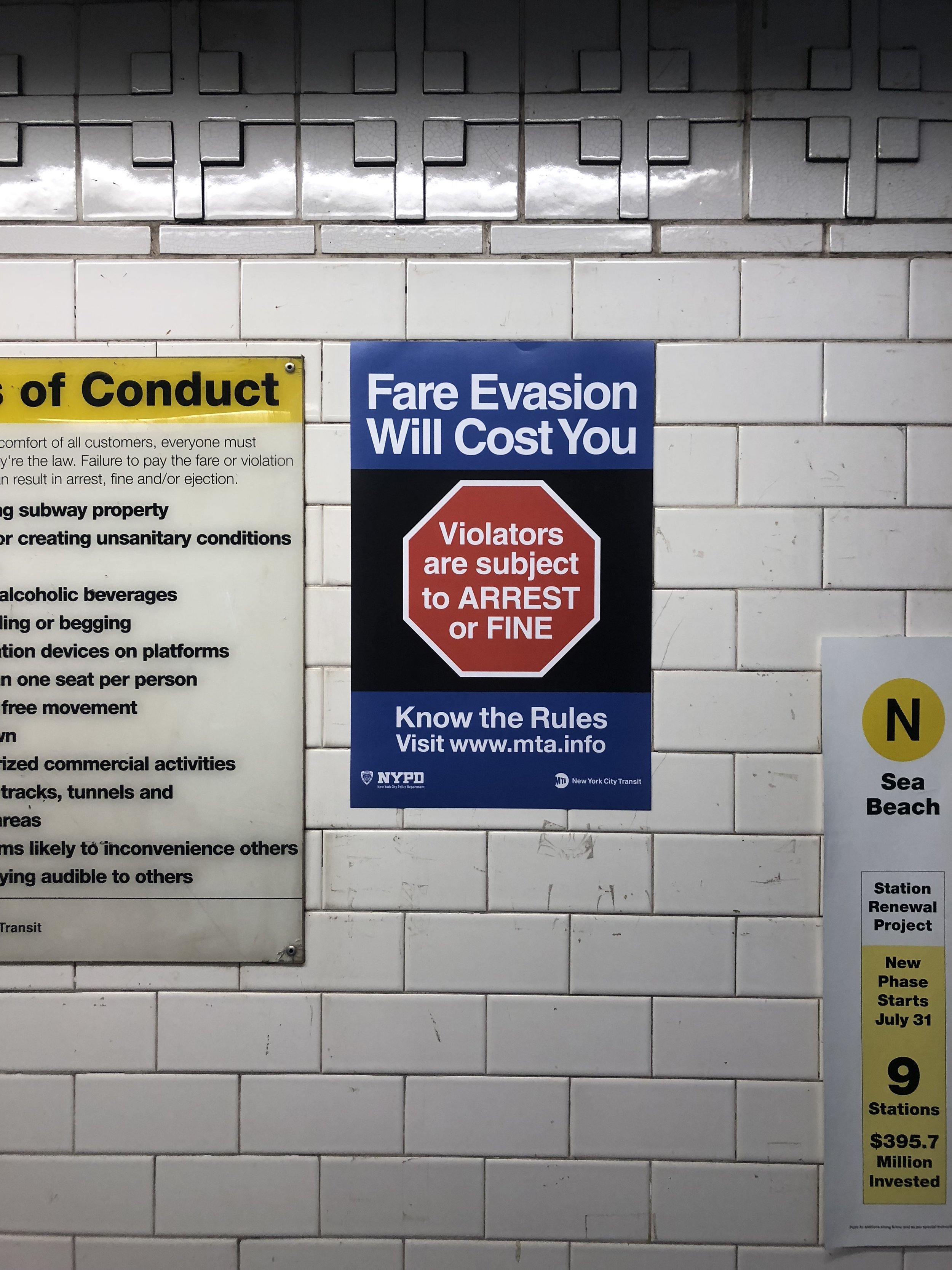
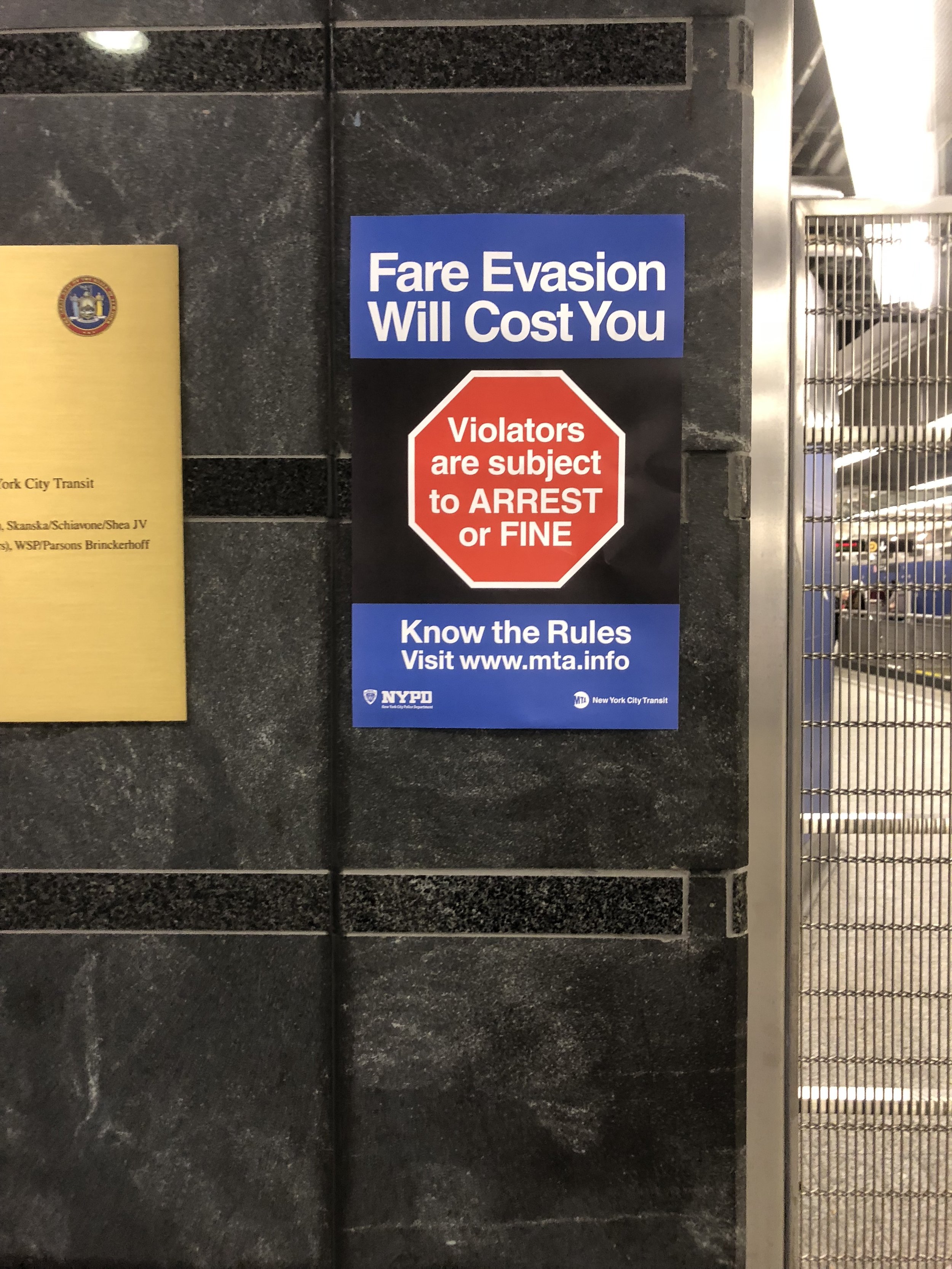
Join the Zolberg Institute on Migration and Mobility faculty on an experiential walk that will reveal the hidden, invisible, and illegible boundaries that guide and shape our involvement with urban life.

What parts of the city are open or available to you, socially and materially, and via what pathways? At what scale do you experience and conceptualize the city? How does your experience of city change depending on your perspective—your race, immigration status, profession, and historical moment?

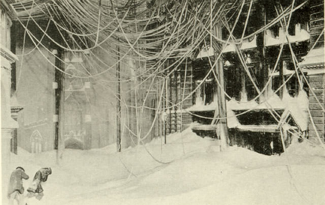
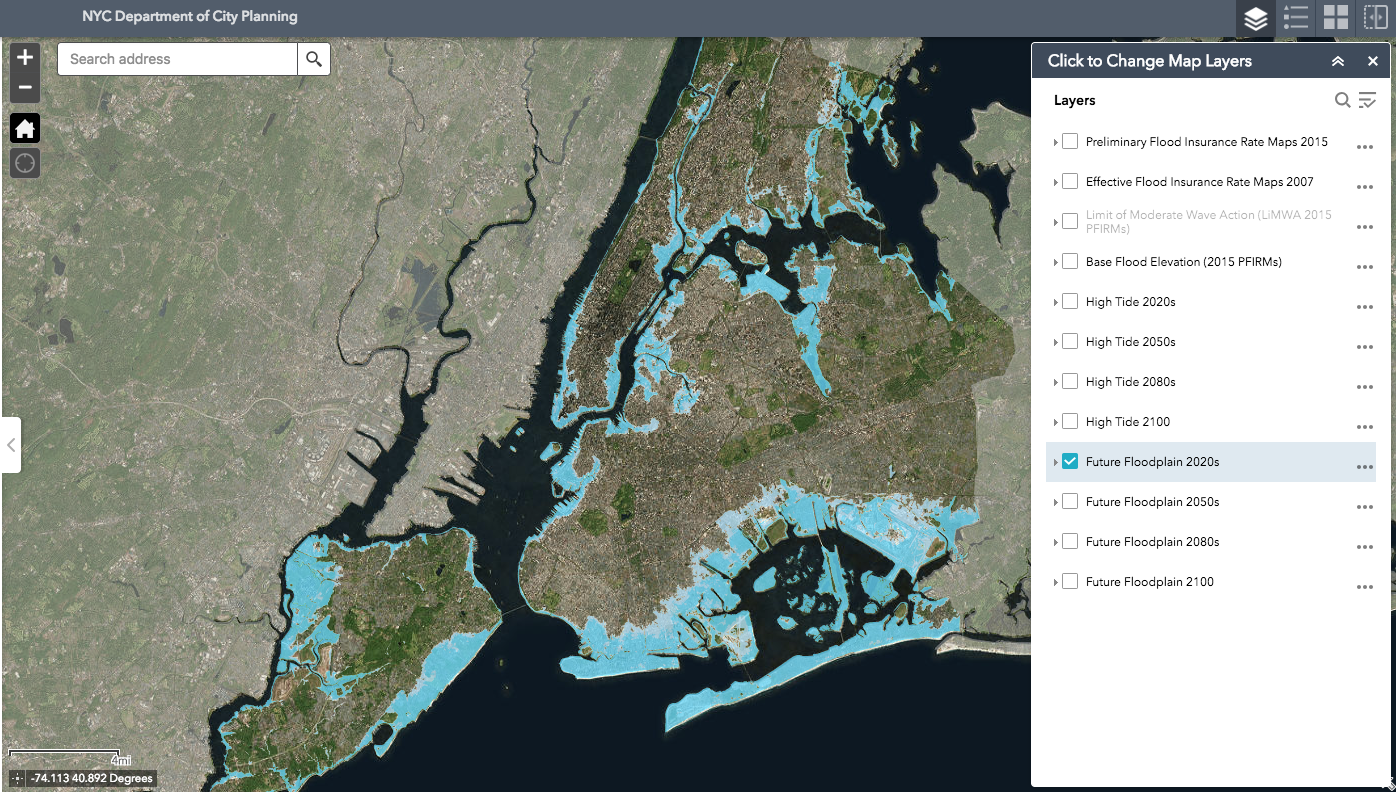
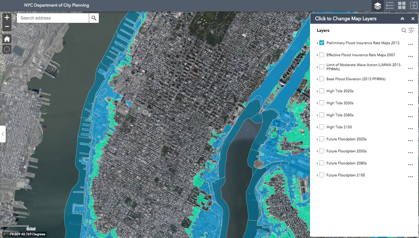
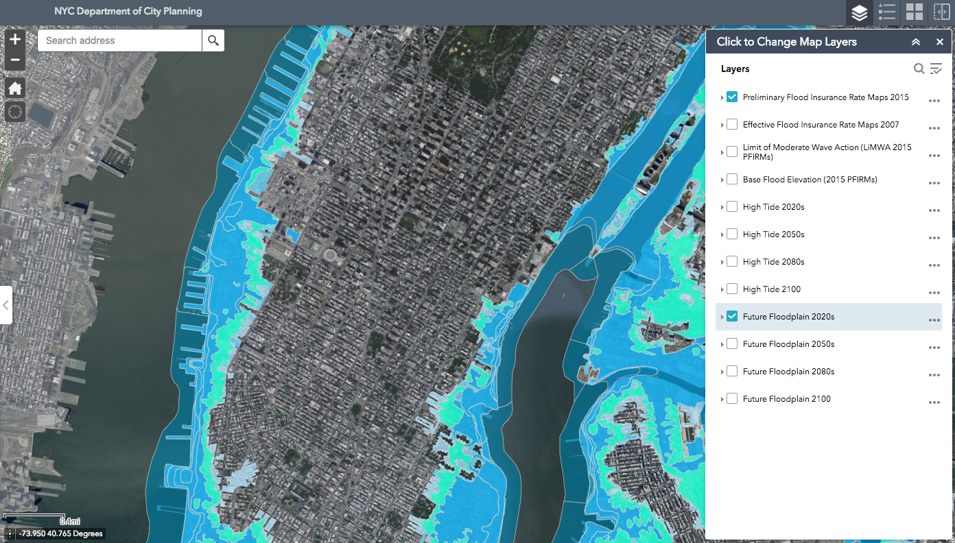
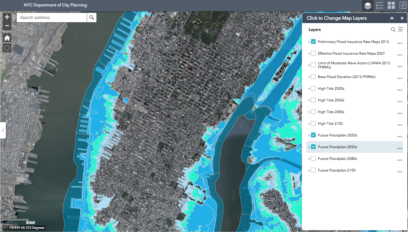
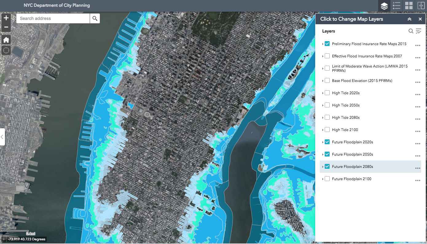
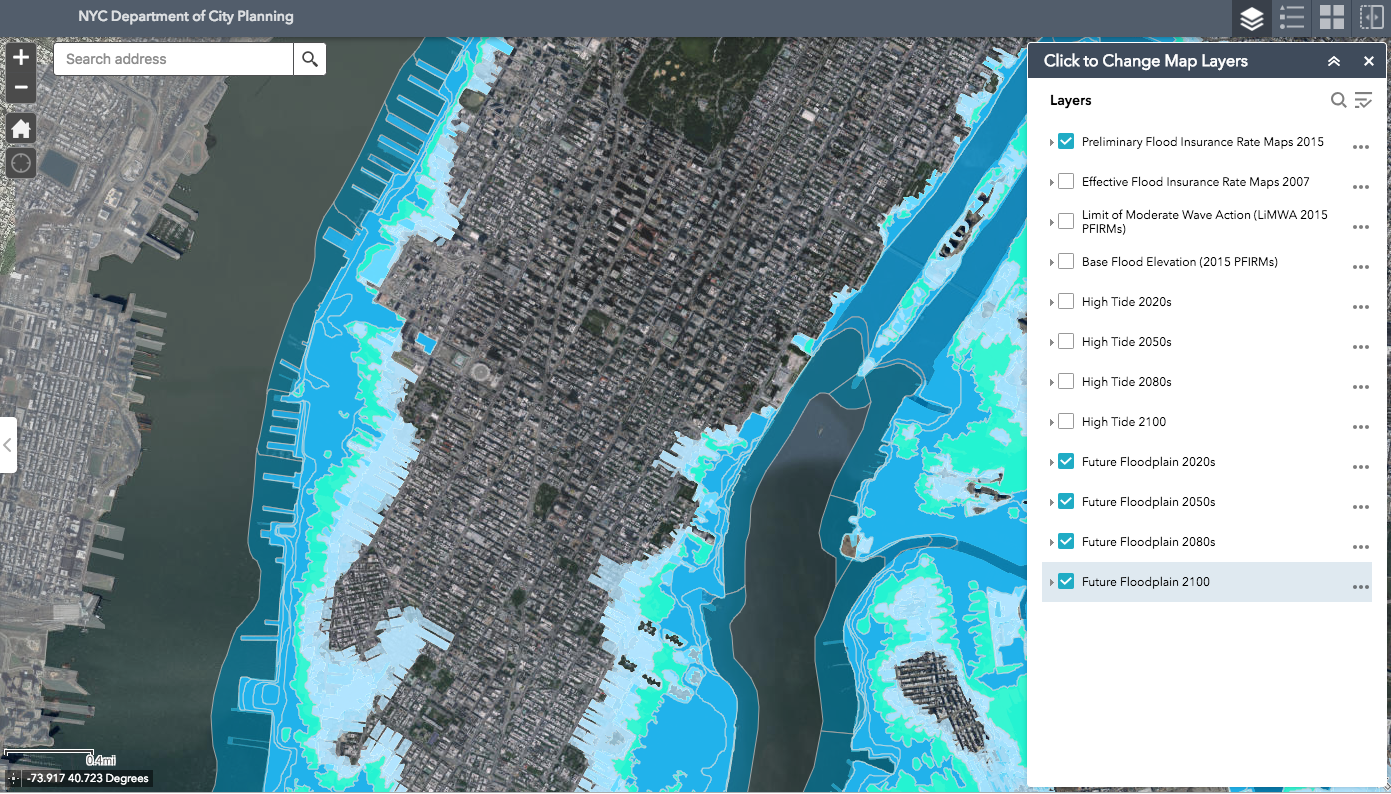
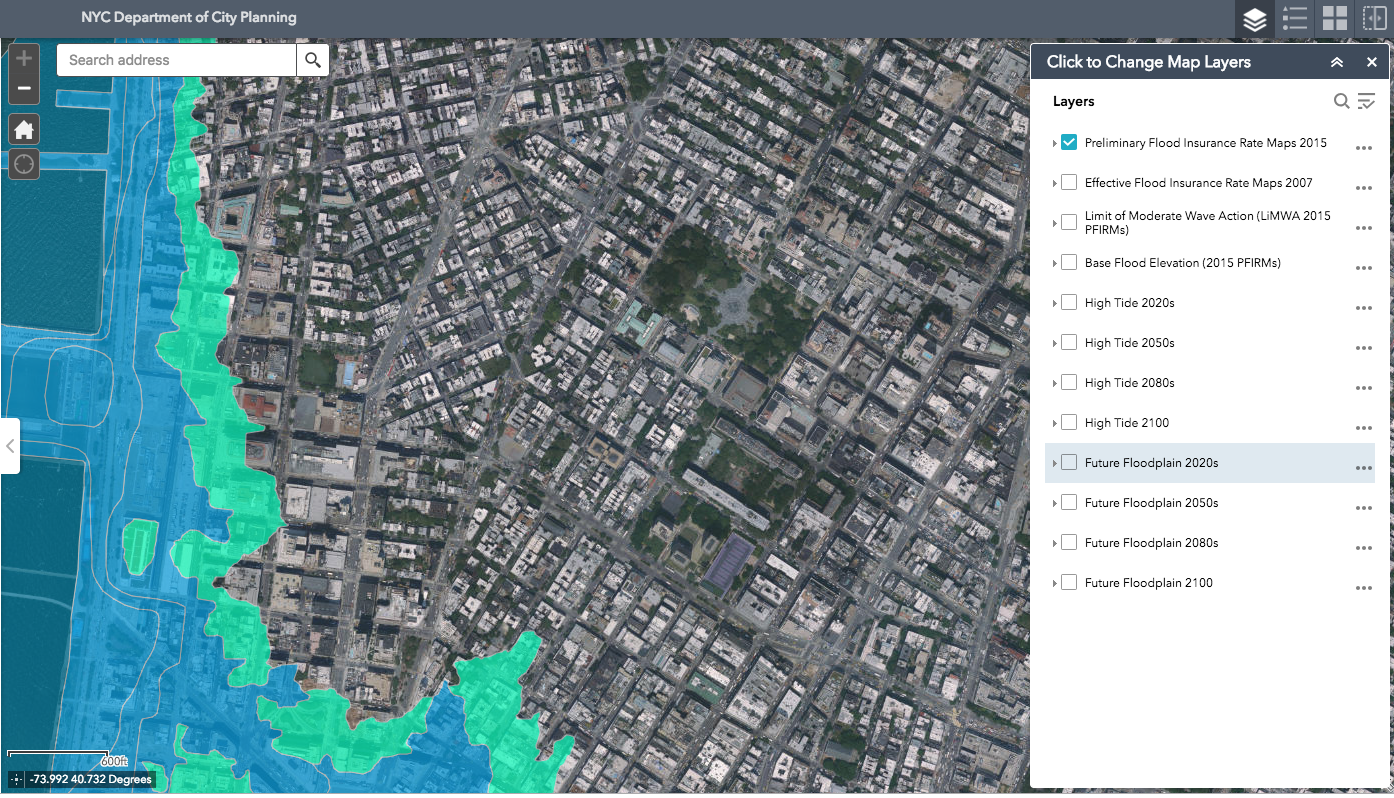
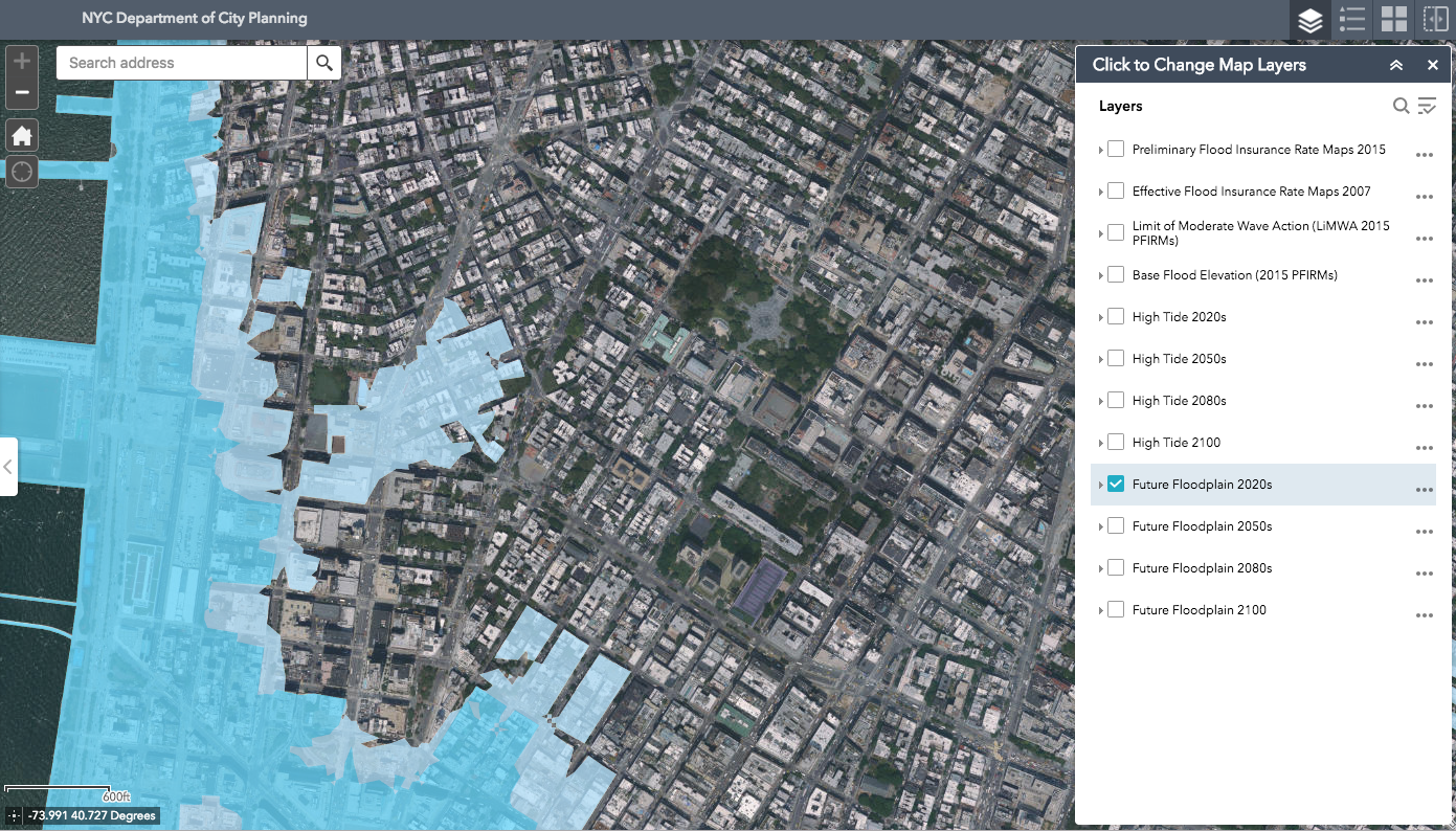
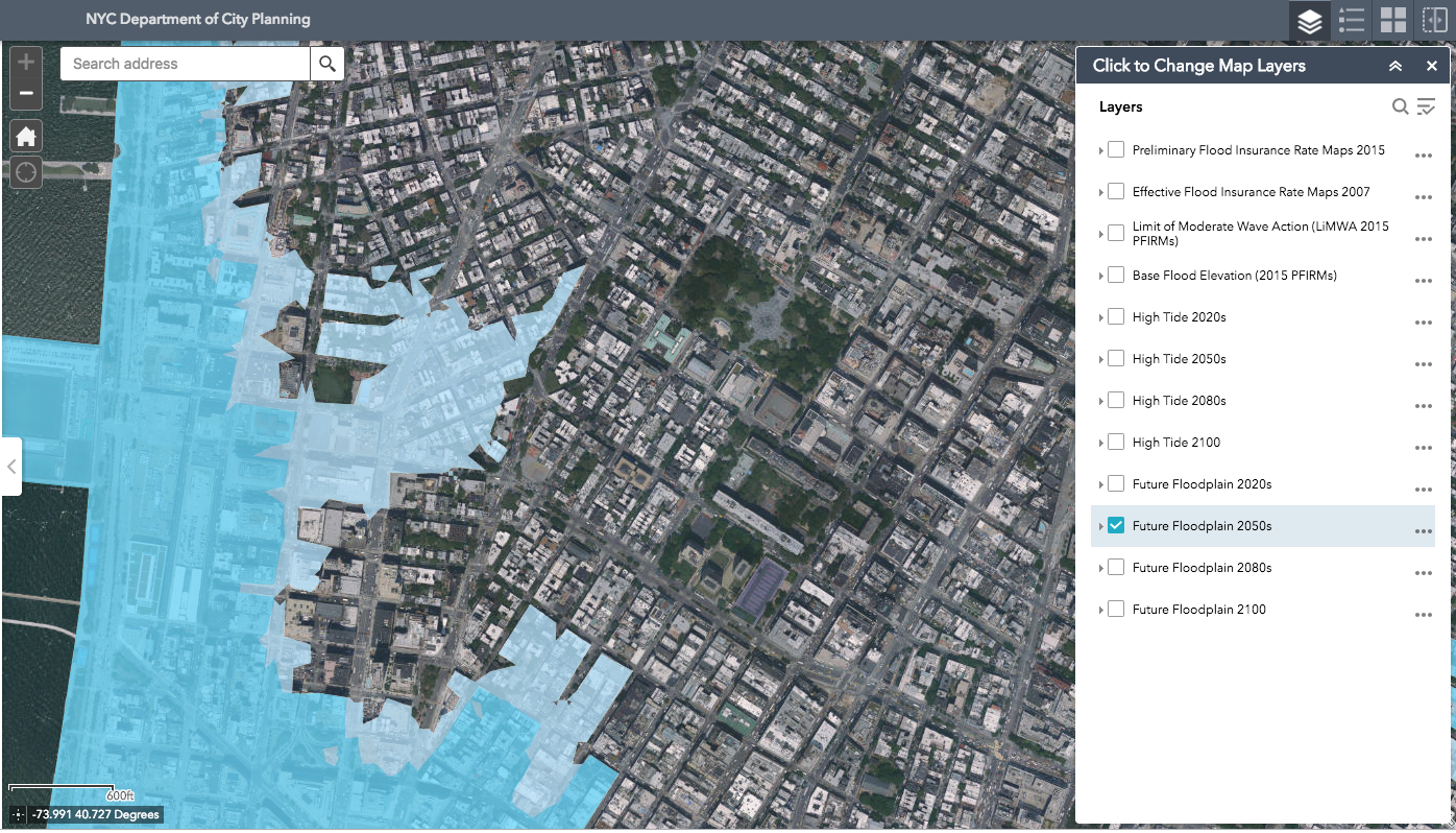
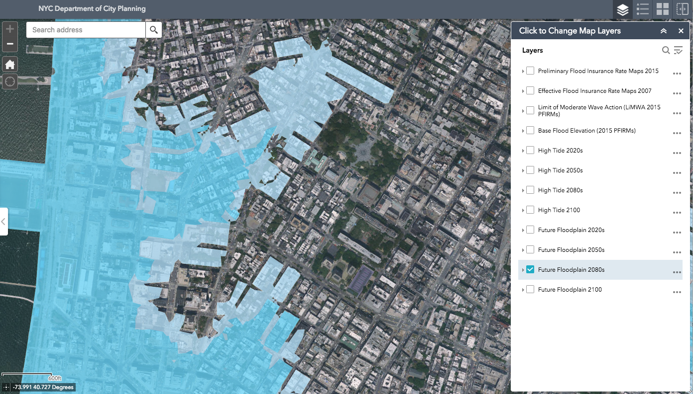
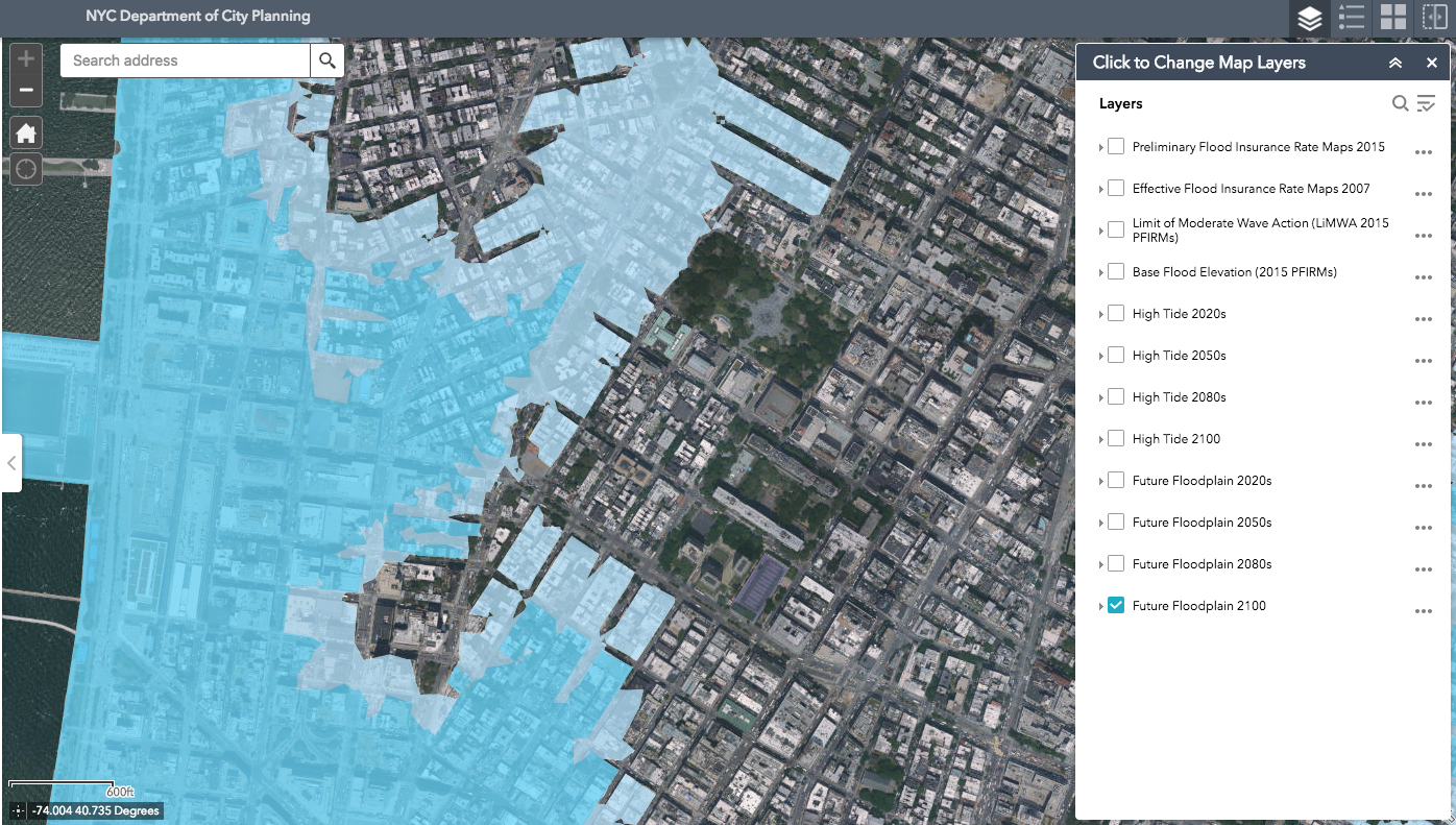
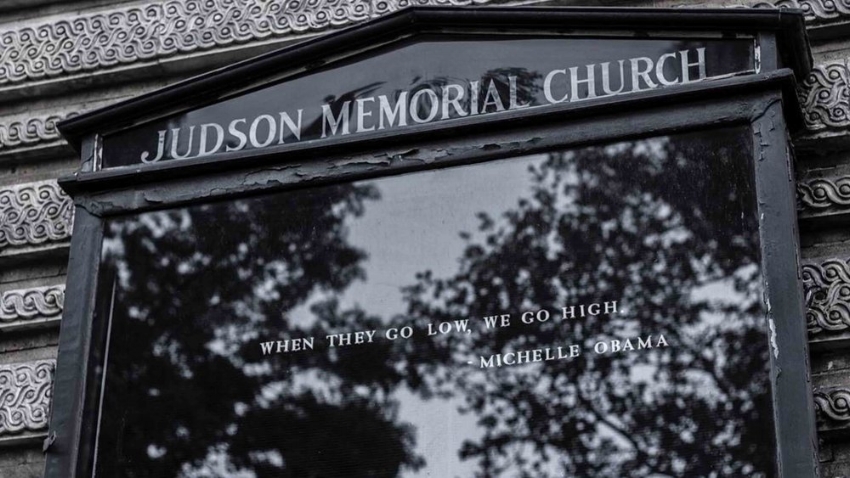
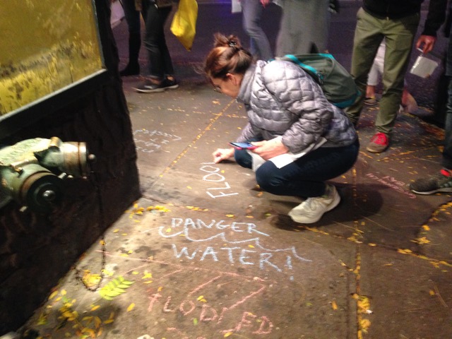
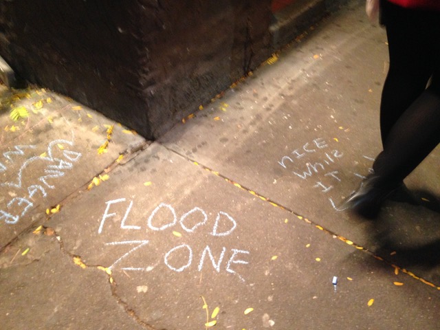
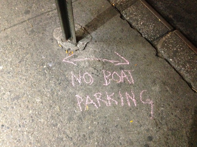
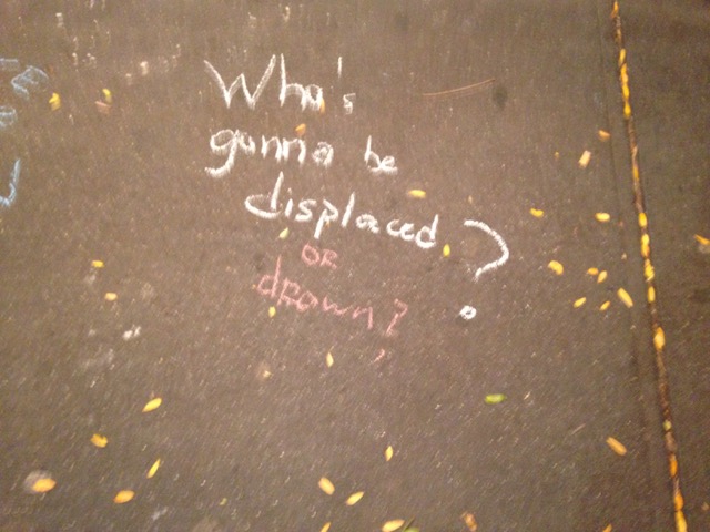
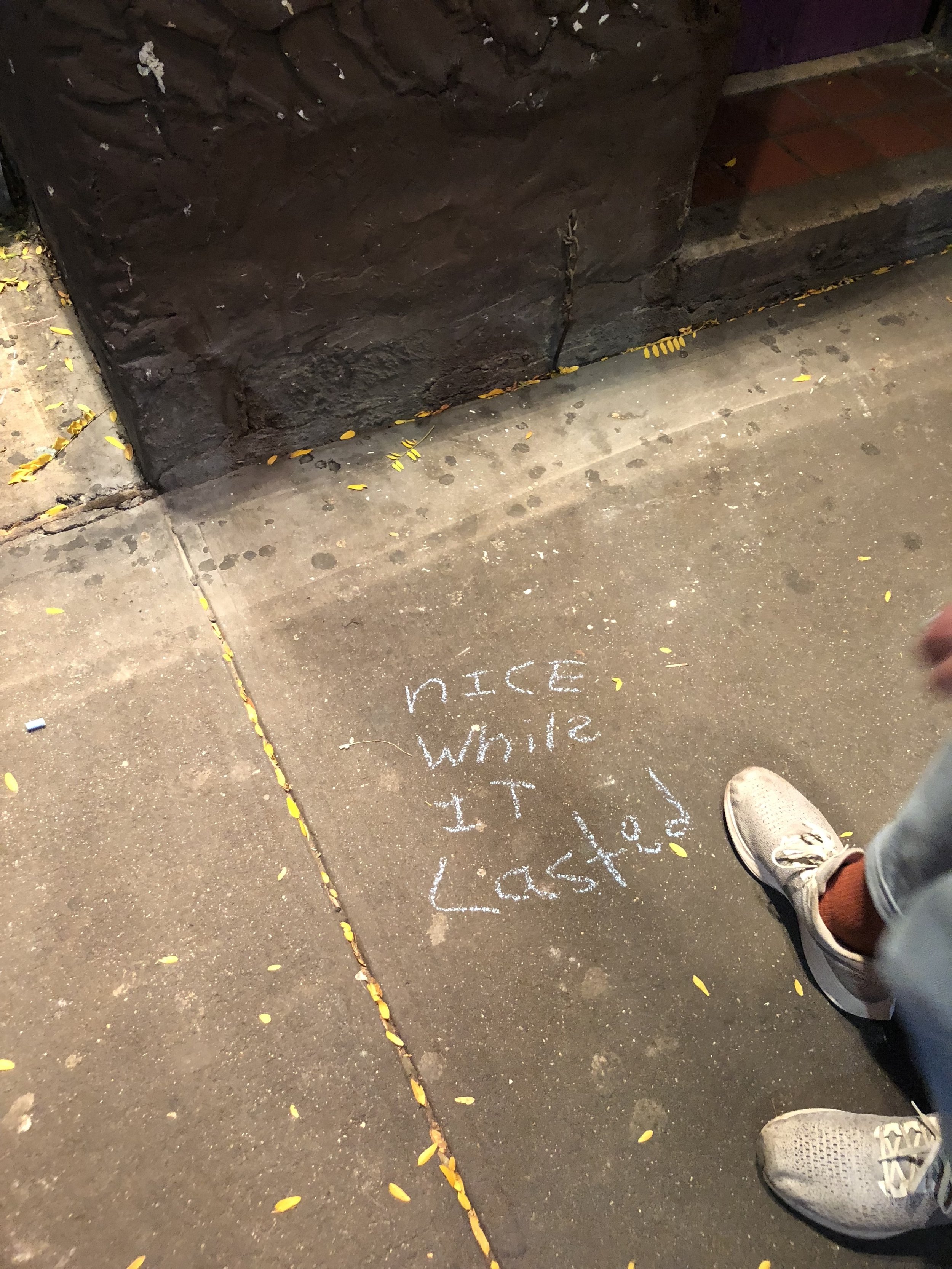
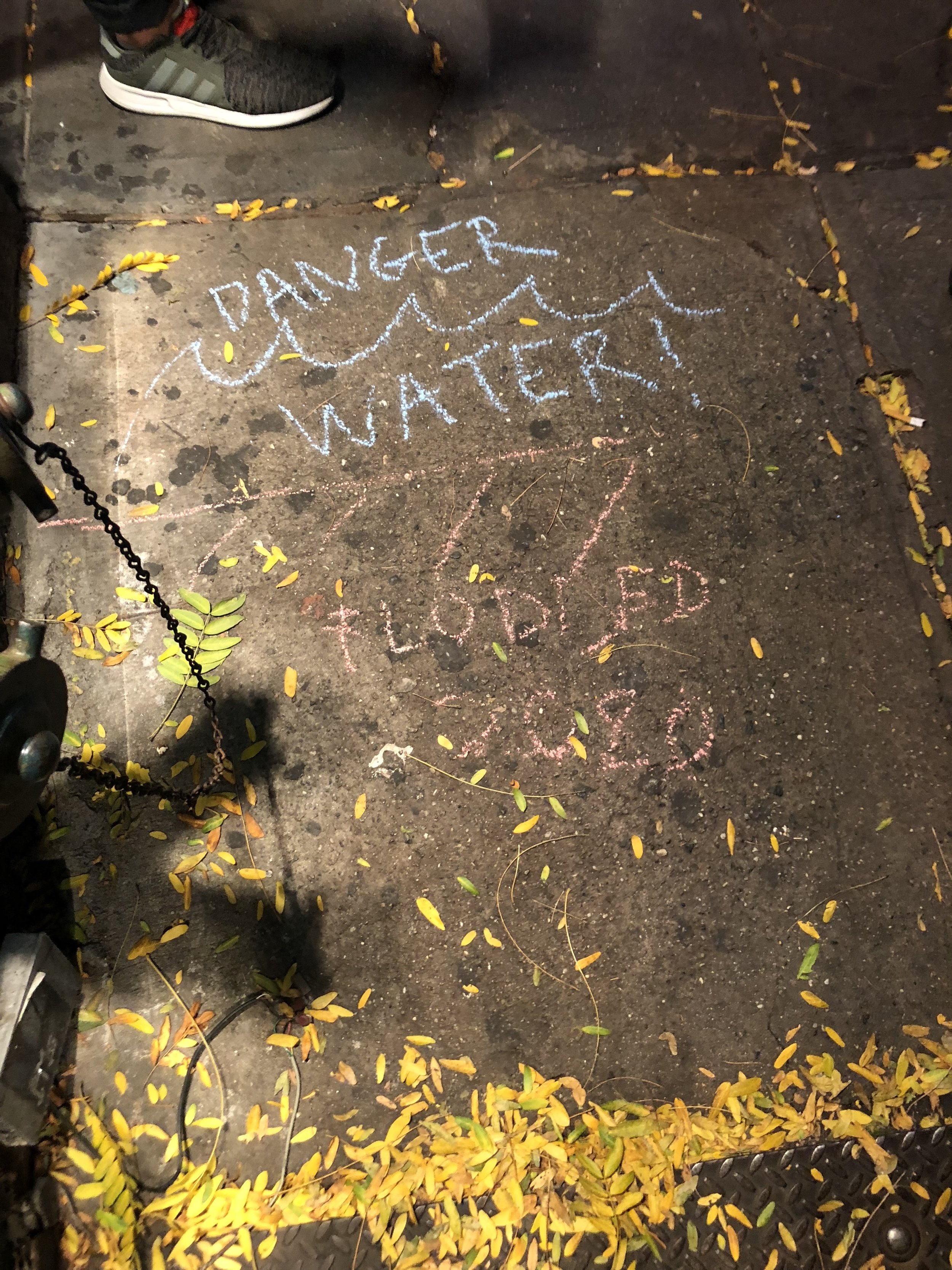
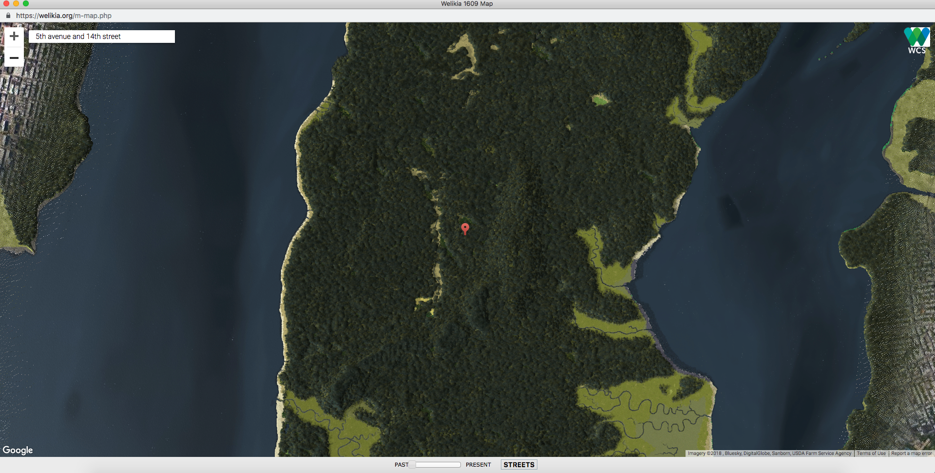
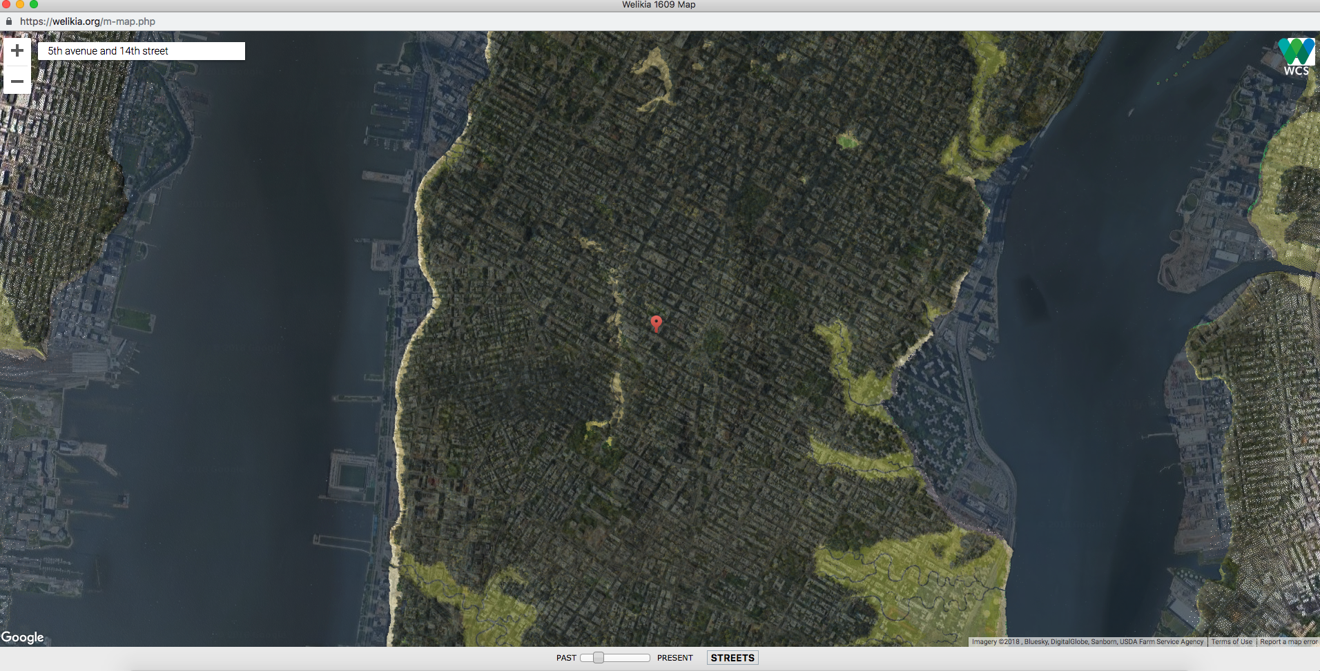
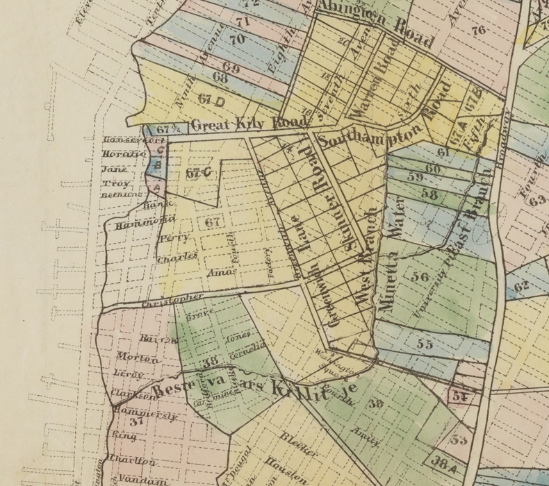
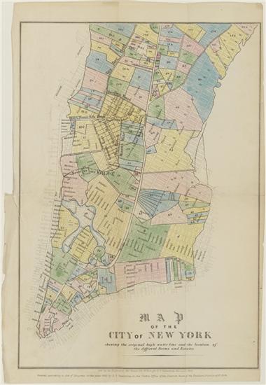
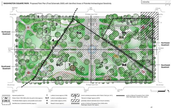
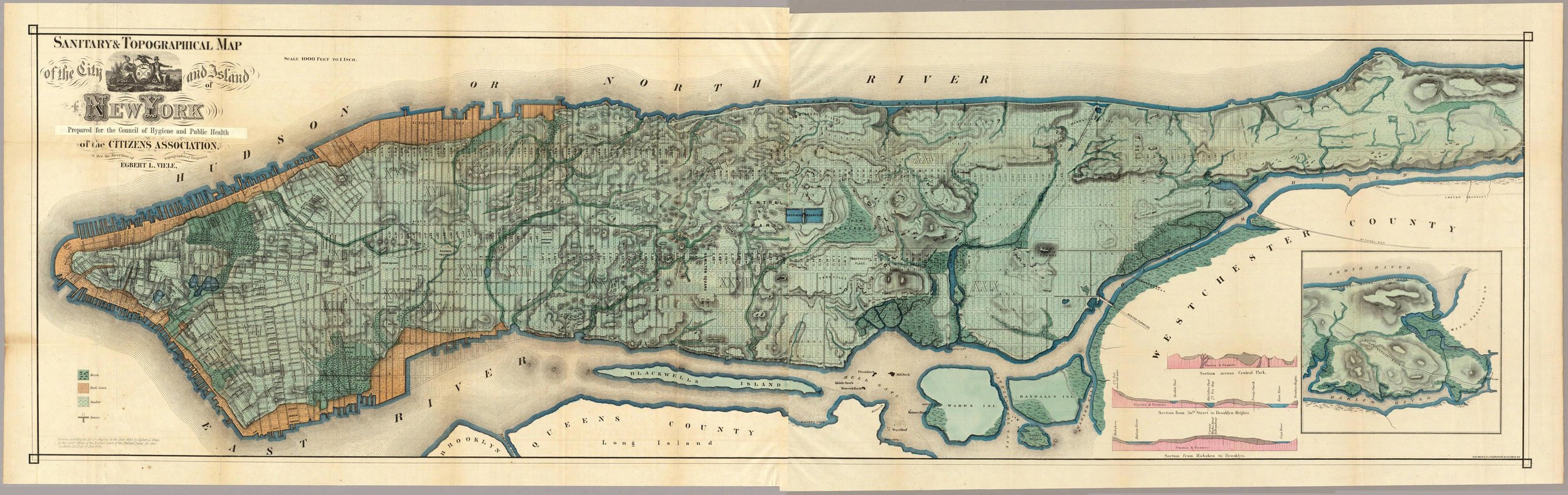
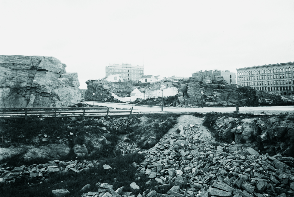
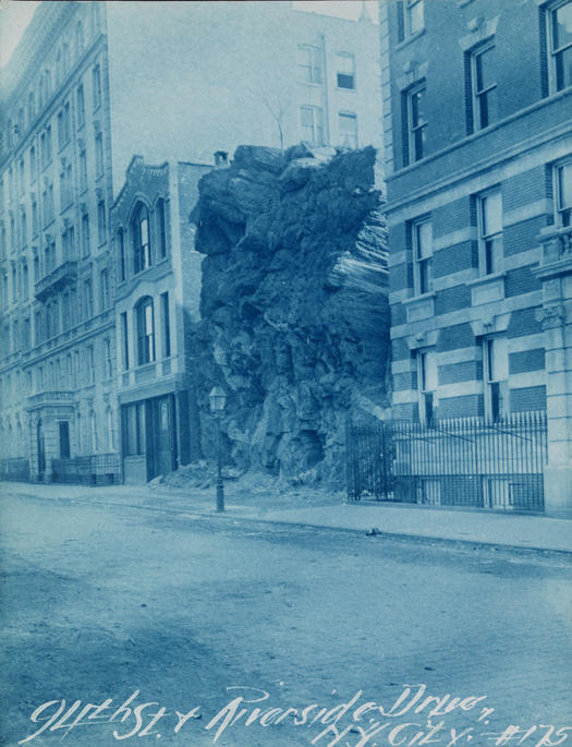
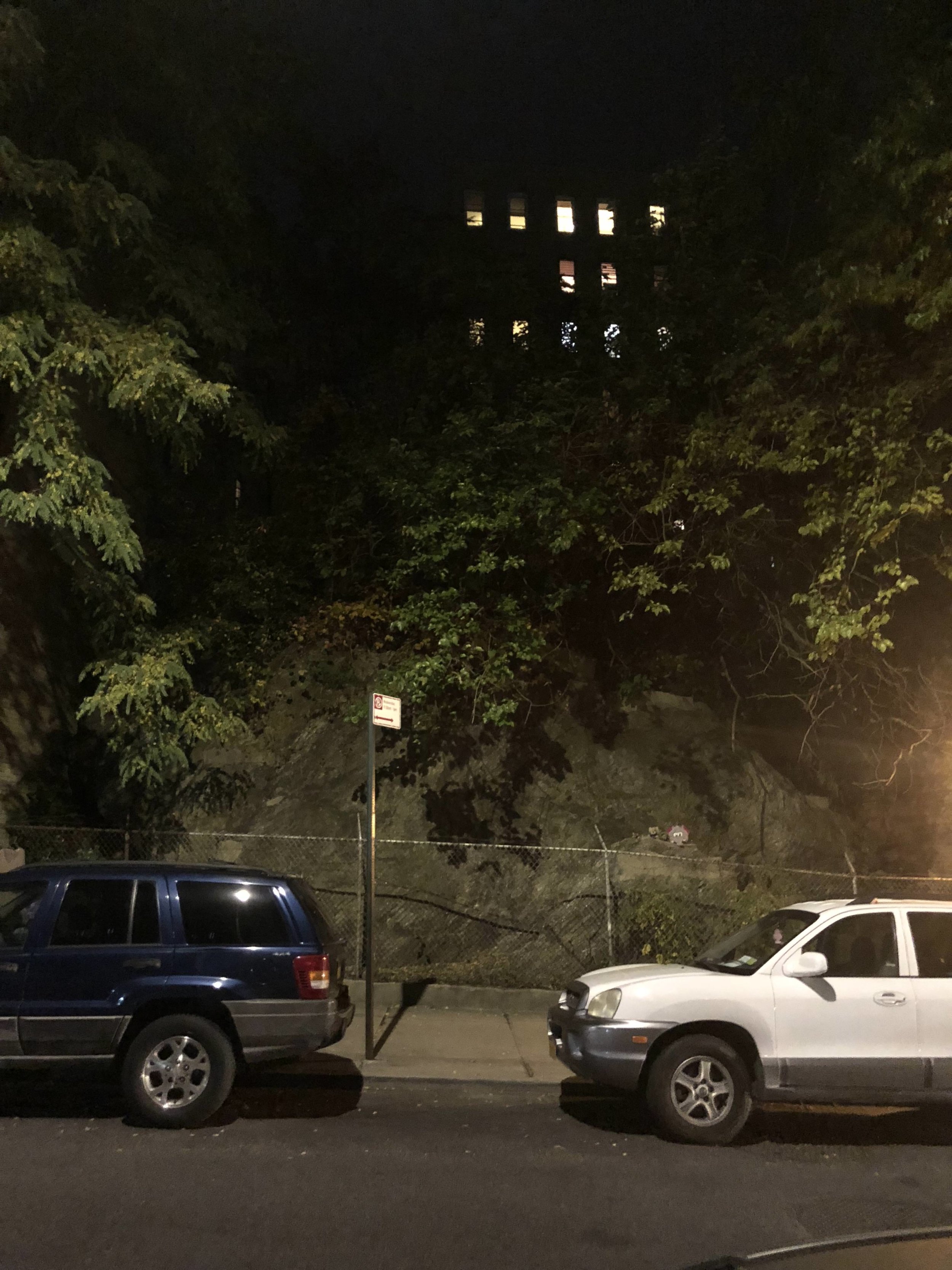
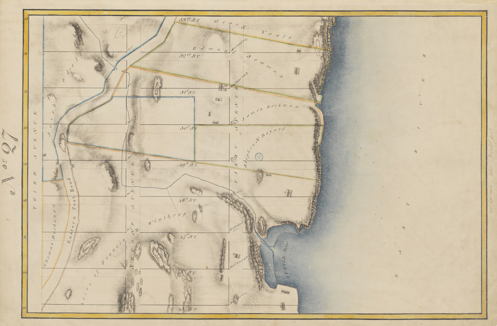
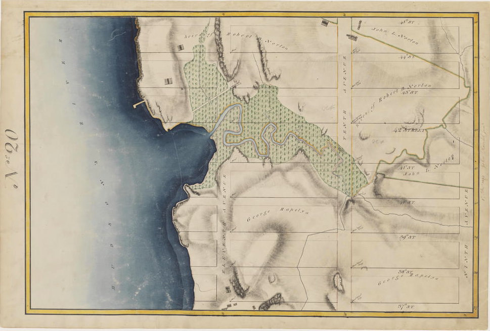
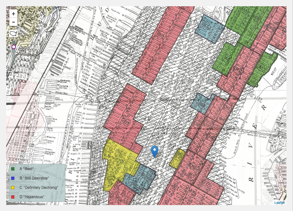
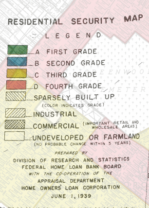
The city is an ecosystem where the built and natural environments merge. As such, we will examine places where the boundary between the built and the natural is negotiated. Drawing on Guy Debord’s concept of dérive, we will explore how we as humans have shaped the natural environment, how we protect it—particularly against climate change—and how institutions and governments use both built and natural environments to create social boundaries.
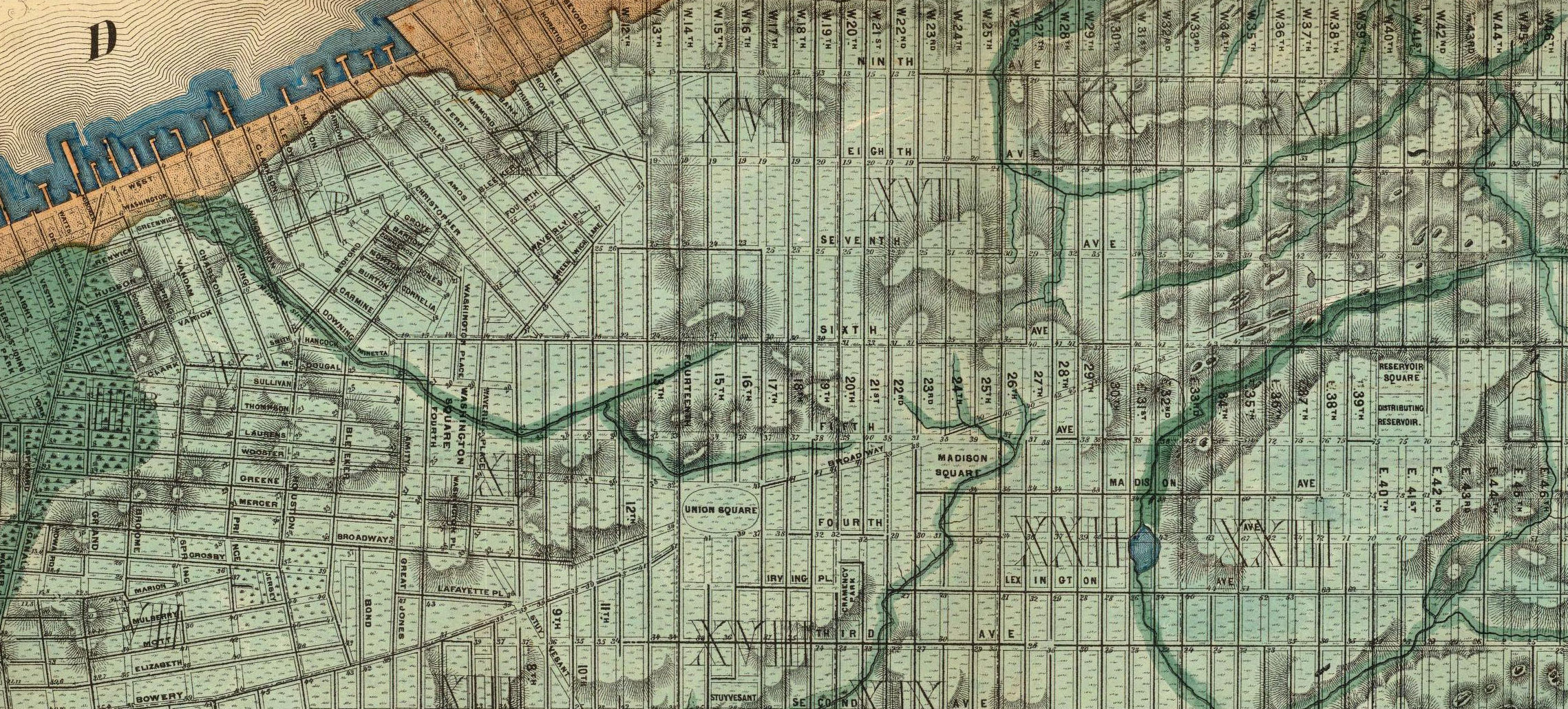
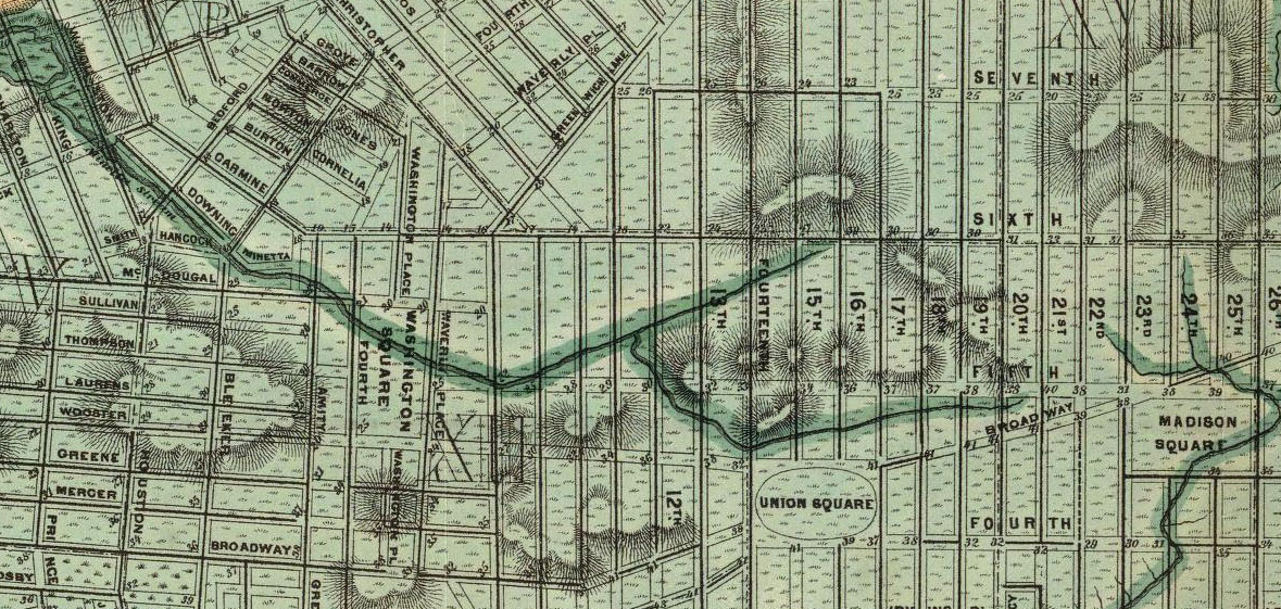
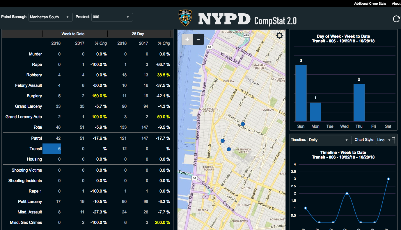
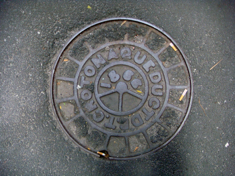

Stop 1: Mannahatta

LINK: The Welikia Project

Other image sources:

Other image sources:

Bolton 1922

Pickman and Yamin 1985

6sqft blog

Stop 2: Minetta

Image sources:

Images 1-3: Viele Map 1865

Images 4-6: Alison Meier, Untapped Cities 2012

Stop 3: NYU Native Woodlands Garden

Link: NYU Native Woodlands Garden Guide

Stop 4: The Grid

Links

Interactive Randel Map

University of Richmond: Mapping Inequality

Other image sources:

The Greatest Grid, Museum of the City of New York, 2015

Stop 5: Minetta Street

Image source: Armchair Atlas

Stop 6: Policing

Link: Compstat 2.0

Stop 7: Houston Street Station

Stop 8: Varick Street

Photo by Brendan McDermid/Reuters, via PRI

Photo by Brendan McDermid/Reuters, via PRI

Stop 9: The Underground


List of manhole cover abbreviations (Wikipedia)

Images of manhole covers via Hyperallergic, Ephemeral New York and Stephen Sherman

Images of utility markouts via Urban Omnibus and ACS Underground

Stop 10: Rising Sea Levels

Link: NYC Flood Hazard Mapper

Stop 11: Judson Memorial Church

Link: New Sanctuary Coalition

Participant Images

The following images were taken by participants and depict activities at Stop 10. Using the NYC Flood Hazard Mapper, we used chalk to make future flood zones visible in the urban landscape—until such time as they were washed away. Participants were also invited to creatively express their reactions to the threat of rising sea levels.